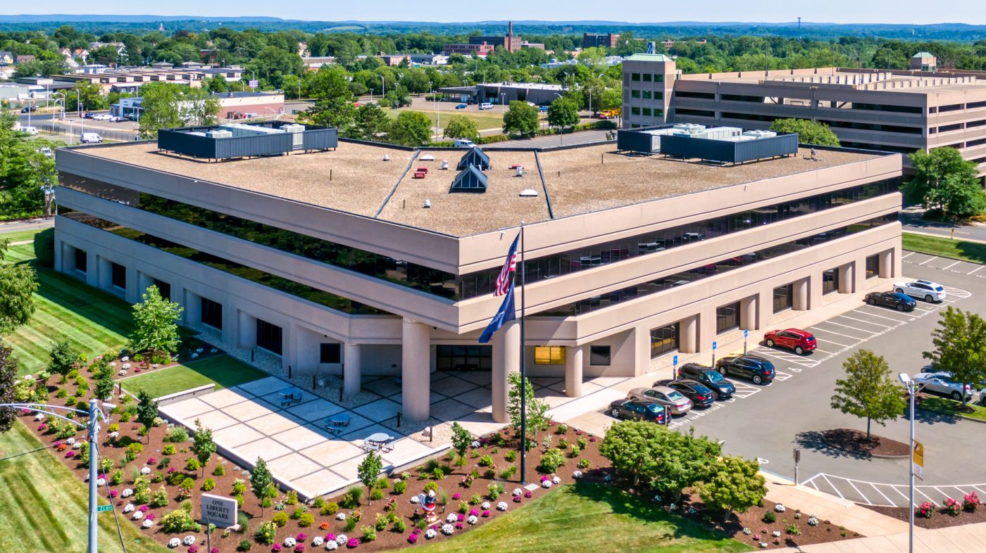
Aerial Imaging for all industries

Photography  •  Videography  •  Aerial Mapping  •  3D Modeling  •  Photogrammetry  •  Surveying & Terrain Mapping

AERIAL IMAGING

CAPTURE YOUR PROPERTY FROM ABOVE!

Capture provides professional aerial photographic and video services across all industries.

We are authorized by the FAA to legally operate our Unmanned Aerial Systems (Drones) for aerial photography, videography, and aerial data collection. Our team across CT and Southern New England combines their experience in photography, video production, design, and remote piloted aeronautics to deliver professional results.

The process is simple.

We’ll ensure that there are no air restrictions to keep us from flying and we’ll schedule your flight to take place during the most optimal weather conditions.

Commercial Drone

Aerial Photography – Commercial

Commercial Real Estate Drone

Commercial Real Estate

Sell real estate faster, attract more clients, and get the full picture by capturing your property and the surrounding area with drone imagery and data.

Residential real Estate Drone

Residential Real Estate

Showcase your home from above and integrate into virtual tour package. Get stunning aerial photos/videos of your listings.

Property Management

Property Management

Manage properties across New England quickly and reliably. From roof & equipment inspections to construction progress to marketing.

Drone Constrcution

Architects, Engineers & Construction

Get accurate, drone-captured data to power your business at every project. We offer visual project updates, monitoring, maps, models, and more.

Drone Inspection by Capture Visual Marketing

Insurance

Improve operational efficiency, reduce liability, make better decisions. We’re the expert in aerial property inspections for underwriting and claims.

Historic Mitigation

Historic | Mitigation

Drones, “unmanned aerial vehicles”, are useful tools for surveying historic buildings & structures, as well as assisting in diagnosing building failures.

  • Photography

  • Videography

  • Residential Real Estate

  • Commercial Real Estate

  • Aerial Mapping

  • Construction & Building Inspection

  • Surveying & Terrain Mapping

  • 3D Modeling & Photogrammetry

  • Roofing / Insurance

  • Agriculture

  • Energy & Utilities

  • Historic Preservation / Mitigation

Aerial Imaging – Residential Stills

Our experienced team excels in advanced photography. We utilize state of the art professional cameras, enabling us to deliver our clients the most impressive images available on the market today!

Aerial Imaging – Residential Video

Raise your real estate marketing efforts to new heights. Our industry leading drone photography and video will give your potential buyers an aerial perspective that is proven to increase MLS viewership and sales.

Aerial Imaging for Business

Our experienced team excels in advanced photography. We utilize state of the art professional cameras, enabling us to deliver our clients the most impressive images available on the market today!

Aerial Mapping / 3D Modeling / Photogrammetry / Inspection / Survey

Examine each sample for 2D Mapping, 3D Model, Plant Health & Elevation

Take Measurements, Google Street View Locations, Calculate Stockpile Mass & Value, Share and Invite Collaboration, Get Real Data Quickly